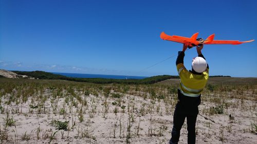
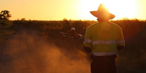
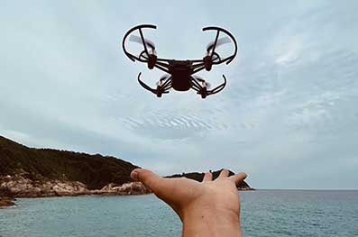
Unmanned Aerial Vehicles (UAVs) technology has been around for nearly a century, but it certainly wasn’t used in the way we see them used today. As the technology continues to evolve, AUAV continues to stay in step with the ever-changing scope.
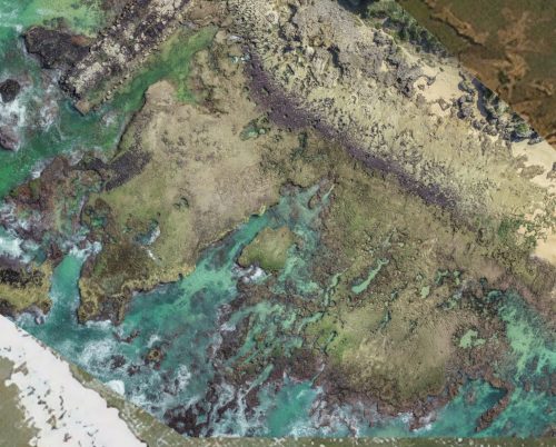
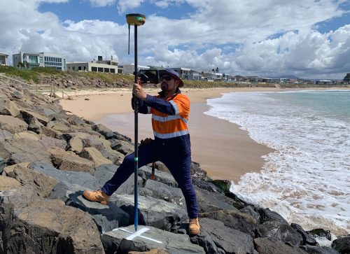
At AUAV, we use unique skills and advanced equipment to bring customers a first-class aerial surveying and mapping experience. AUAV strives to provide superior quality aerial drone surveying and mapping services with highly accurate topographic maps and centimetre-level accuracy at any given time.
