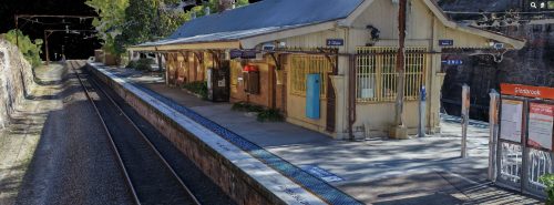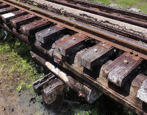
AUAV staff have RIW cards and are specifically trained in operations around rail and road projects. Our team doesn’t only use drones, we apply data capture methods to vehicles and also offer boat-based and underwater inspections.

AUAV staff have RIW cards and are specifically trained in operations around rail and road projects. Our team doesn’t only use drones, we apply data capture methods to vehicles and also offer boat-based and underwater inspections.
Email us at contact@auav.com.au for information on pricing or details on services.
Our UAV technology and software provide the latest in mapping and inspection technology. We are constantly updating and improving our inSite software, ensuring that you get the most up-to-date results. Our software is designed to be user-friendly and efficient, making it easy for our operators and inspectors to quickly and accurately map and inspect bridges roads, and railroads.
At AUAV, we are committed to providing you with the highest quality results with drone data. Our experienced team uses the latest UAV technology and software to give you accurate and reliable aerial bridge inspections and analysis. We understand the importance of providing accurate and comprehensive data, and we make sure that you get the results you need quickly and efficiently.

Reduce human risk: By using drones to inspect road, rail and bridge projects, you can reduce human risk by reducing the need for workers to enter dangerous areas or access complex terrain.
Cost-effective: Traditional bridge inspections can become costly quite quickly due to the amount of time and work required. Drone inspections are cost-effective compared to traditional bridge inspection methods thanks to improved efficiency in data collection; this reduces overall inspection costs associated with labour and materials.
Detailed and accurate data: The accuracy of drone inspections is unparalleled; data collected from UAV technology has a much higher resolution than other survey and visual inspection methods, allowing for more detailed assessments of structural integrity.
