MEASURE – VISUALISE – COLLABORATE
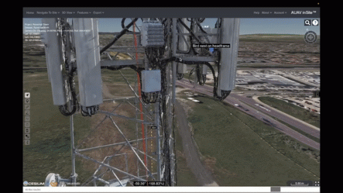
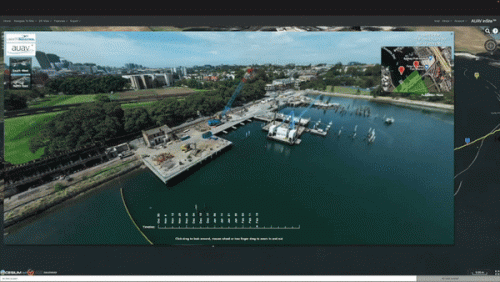
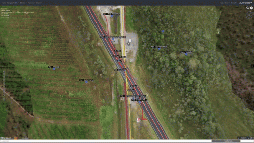
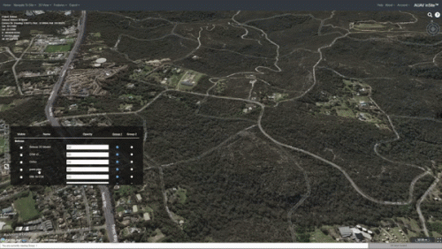
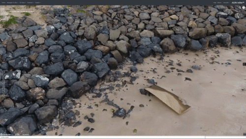
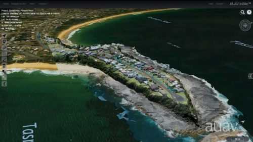
AUAV’s inSite™ is aproprietary web GIS platform for presenting a wide array of datatypes. With a core focus onvisualasset inspection from drones we host a complete 3D site capturebut can also to display laser scan data, videos, panospheres, as built models and pdf reports. All data is accessible securely in the cloud or from your own internal servers using just a standard web browser.
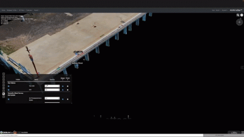
inSite™ allows to host large datasets without the need of installing expensive software at the client’s end. inSite™ has the ability to host various GIS datasets within a single portal with multiple user-specific privileges. inSite™ is not only a visualisation platform but also offers built-in measurement and analysis tools;
