Detailed Data Capture for Analysis
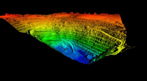
The equipment included in our unmanned aerial vehicles contains the latest technologies, allowing you to get detailed data on a number of physical world elements such as surface areas, structural integrity, and more.
The data captured from the drones can then be submitted for further processing, compared with other large datasets, and even used in statistical analysis of a structure or plot of land with a high level of accuracy.
Safety and Security with Use of Drones
With drones being operable from large distances and able to fly at great heights, they are able to provide analysis and inspections with a greatly reduced safety risk. This can be a big saver from both a time and money perspective.
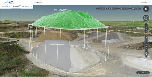
On top of this, after gathering your data our online data platform – AUAV inSite – is able to process the data in a way that gives you the exact information you need while keeping the data secure for your business.


